Topographical Surveys
A Topographical Survey is used to gather data about the natural and man-made features of the land and is the foundation for any successful project. Topographic maps are used to show elevations and grading features for architects, engineers, and building contractors.
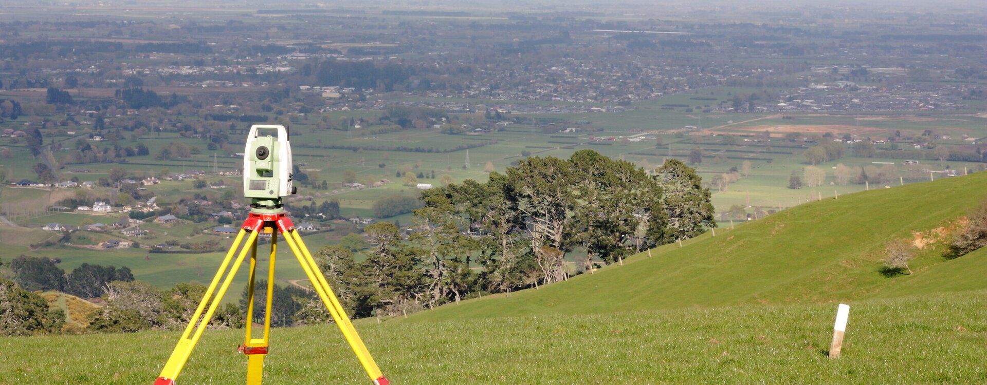
Whether you are building a house, planning a large-scale subdivision or designing infrastructure, a quality topographical survey is imperative. Utilising specialised computer software and appropriate survey equipment, Cogswell can carry out this work accurately and efficiently to provide you with the information that you require.

We can help you:
Scope the project with your architect and provide digital data as required.
Determine existing conditions and possible obstacles with your site.
Provide engineers and architects with the necessary information to create suitable designs and solutions.
Provide a 3D model to help you visualise your project.